Open Infrastructure Atlas · working prototype
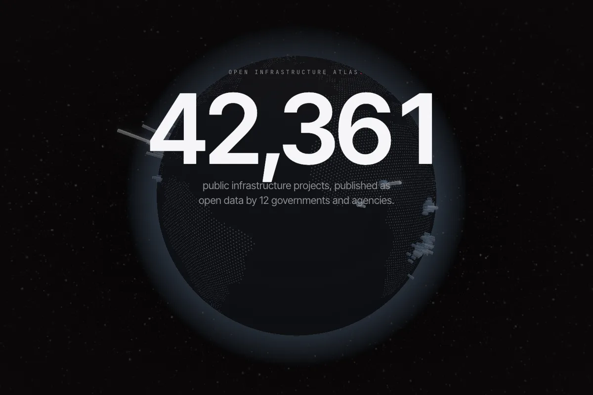
42,361 public projects. Where are they?
Twelve governments and agencies publish their infrastructure projects as open data in the OC4IDS standard. The atlas puts every one of those records on a single globe, and says plainly how far each location claim can be trusted.
The finding
Open data is not the same as locatable data.
Of 42,361 published records, only 275 place a project exactly where its publisher said it is.
A map that draws every coordinate it receives looks confident and misleads. Some publishers write latitude and longitude the wrong way round. Some give one point, a state capital, to hundreds of projects. Some describe a place in words and give no position at all. The atlas treats each location as a claim to test, not a fact to plot.
Placed as published. The publisher's own structured coordinates, used unchanged.
Corrected. The publisher's coordinates were written with the axes swapped. They are restored only when the corrected point falls inside the place the record's own text names.
Near a named place. A settlement or administrative area named in the record, drawn as an area, never as a pin, because the site itself is not known.
Demoted. A single point shared by many projects is a default, not a site. These are shown as regions with an explanation.
Set aside with a reason. The published position falls outside the country the publisher declared, so it cannot place the project.
Nothing is silently dropped. Every one of the 42,361 records is either drawn, counted to its jurisdiction, or reported as set aside with the reason, and the totals reconcile.
What it is for
Three ways to use it.
Find a project
Search by place, kind of work or problem, such as bridges in Ecuador or roads in Kaduna, and open the project's accountability record: stage, budget and linked contracts.
See how a location was read
Each pin and area says what it rests on: the publisher's point, a corrected pair, or a named place. Where two claims disagree, nothing moves, because we cannot tell which one is wrong.
Compare what publishers disclose
For each publisher the atlas scores eight core elements and names the weakest, so a data team can see the single field that would most improve its record.
The publishers
Who publishes, and what is missing.
Completeness is the average coverage of eight elements: title, lifecycle stage, sector, budget, location description, map coordinates, linked contracts and last updated date. The weakest element is the one with the lowest coverage for that publisher.
| Publisher | Projects | Drawn | Complete | Weakest element |
|---|---|---|---|---|
| Ecuador (CoST Ecuador) | 34,520 | 0 | 50.5% | Lifecycle stage |
| Indonesia (West Lombok) | 2,594 | 460 | 37.1% | Location description |
| Indonesia (Nusa Tenggara Barat) | 2,524 | 1,533 | 70.9% | Location description |
| Mexico (Jalisco) | 804 | 804 | 87.5% | Map coordinates |
| Malawi (IPPI) | 694 | 61 | 73.3% | Map coordinates |
| Uganda (PPDA GPP) | 393 | 79 | 74.0% | Location description |
| Mexico (Nuevo León) | 263 | 248 | 73.6% | Map coordinates |
| Nigeria (Kaduna) | 200 | 128 | 68.2% | Linked contracts |
| Ghana (Sekondi-Takoradi) | 144 | 47 | 74.4% | Location description |
| Zambia (NCC) | 107 | 48 | 76.4% | Linked contracts |
| Mozambique (ANE) | 100 | 64 | 86.4% | Map coordinates |
| Costa Rica (CFIA) | 18 | 15 | 87.5% | Linked contracts |
Snapshot of 24 September 2026. 12 of 13 listed publishers were reachable; CoST Ukraine's feed returned an error. Ecuador supplies most of the records, and none of its addresses yet carries a position precise enough to draw as a site.
Limits
What the atlas does not claim.
- It is a working prototype built by me, not an official CoST or publisher product, and no publisher has endorsed it.
- It reads what publishers release. A missing project may exist and simply not be published; absence on the map is not evidence of absence on the ground.
- Corrected and inferred locations are shown as such. A reverse-geocoding spot check found the named street or village at the corrected point in 29 of 76 sampled records, better than the pins published as-is but short of proof, so village-level precision is not verified for most corrected pins.
- It is built on an open-source fork of World Monitor (AGPL-3.0), rebuilt around the OC4IDS data standard.
Try it, then tell me what broke
Search for a project you know.
If you publish infrastructure data, look for your own records. If the atlas places one wrongly, that is the most useful thing you can send me.